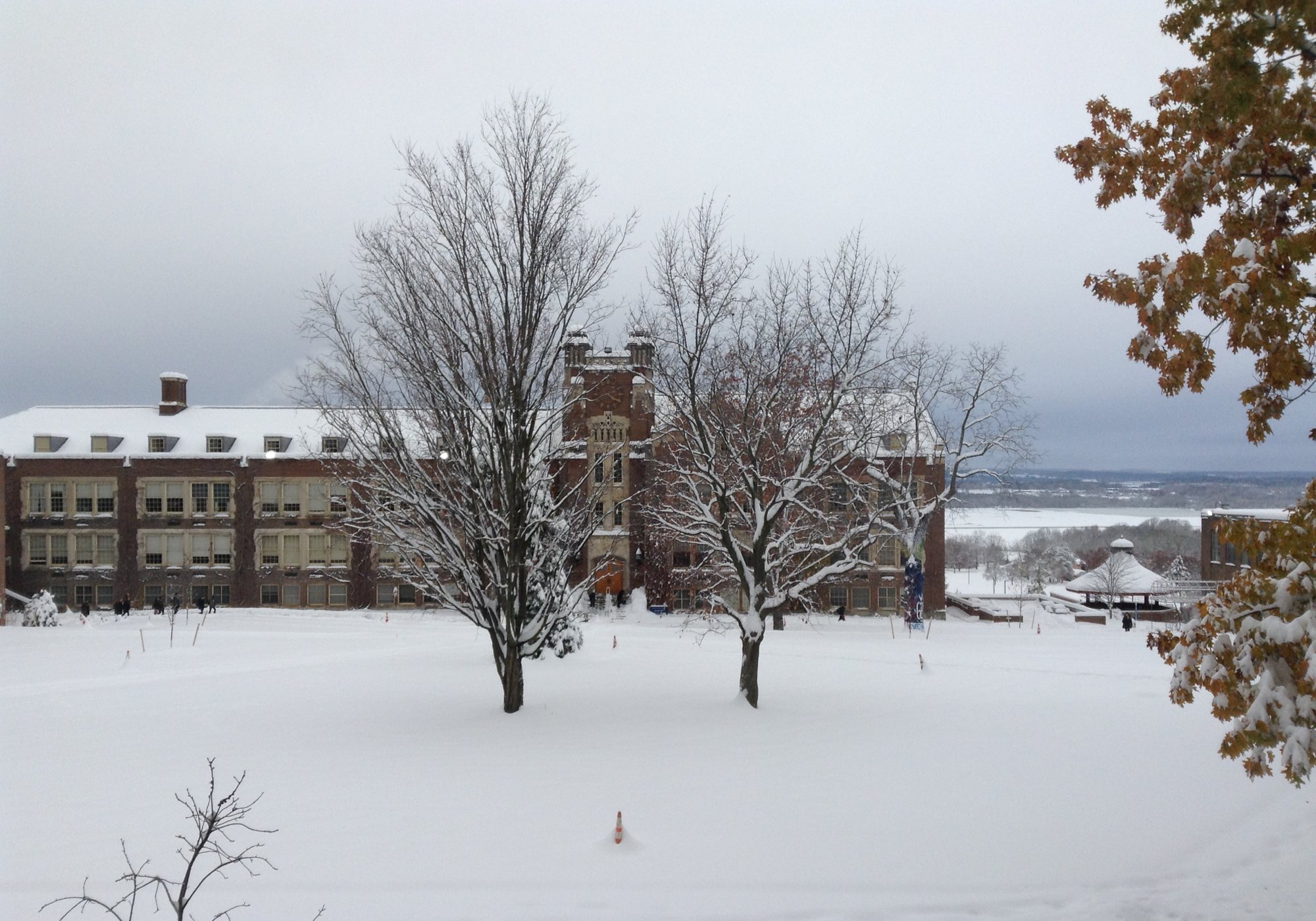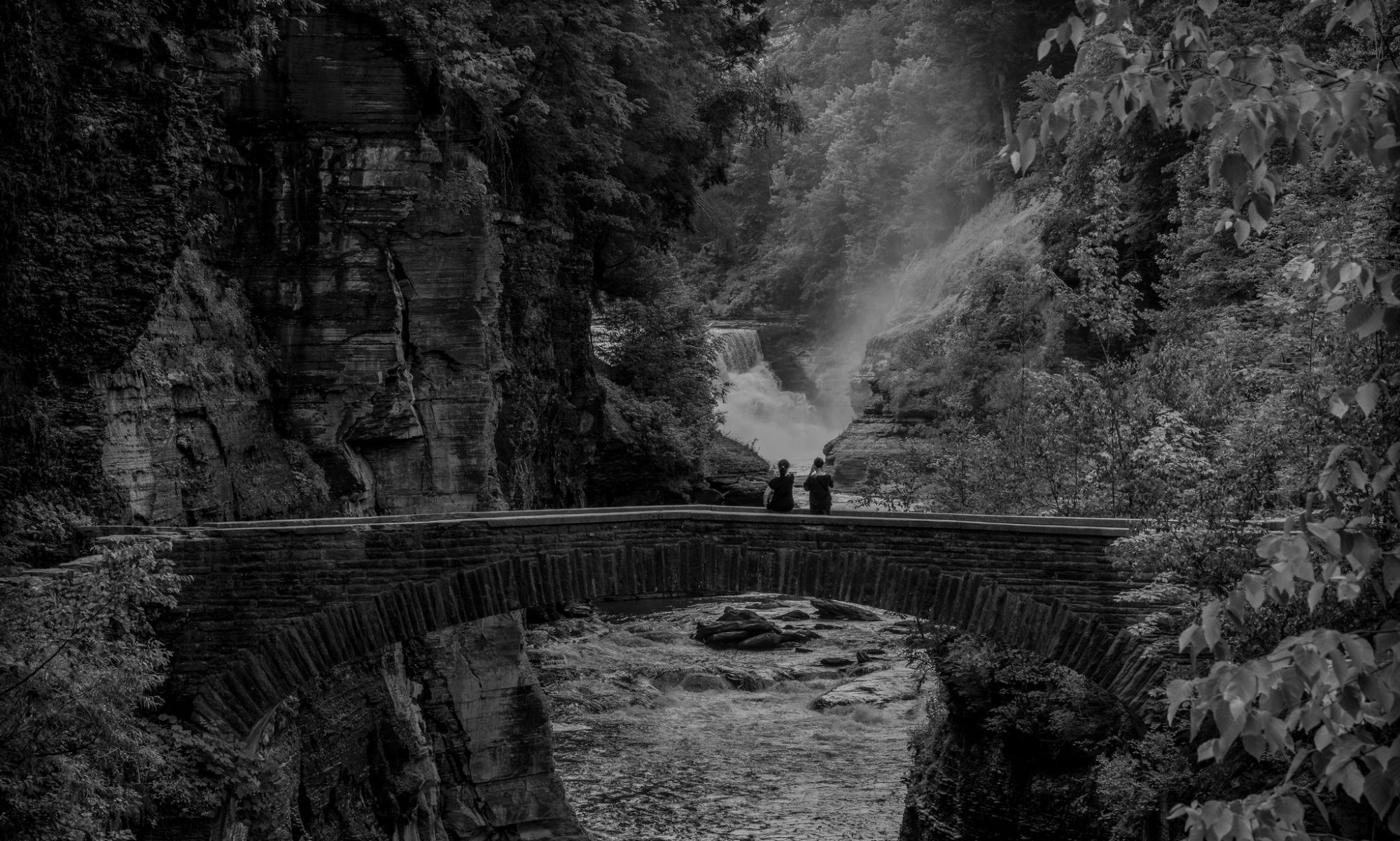
Our final project of the semester was a collaborative one that took its final form as an ArcGIS story map. Its premise was to explore interactions of sky and earth at a time when smartphones accomplish many of that older instrument’s functions–albeit enabled by complex networks of geosynchronous satellites, data centers, and cell towers. Under this Anthropocene sky, we drew upon nature writing to turn ourselves into astrolabes: every half hour, between 6:00 am and 6:00 pm, one of us skywatche from a particular location on or near campus, took a smartphone photograph to record that moment, and then wrote about earth & sky on the day of November 15, 2018. Our goal was to explore unappreciated connections between these different realms, whether material or imaginative. Have a look at “November Astrolabe” by following this link.
