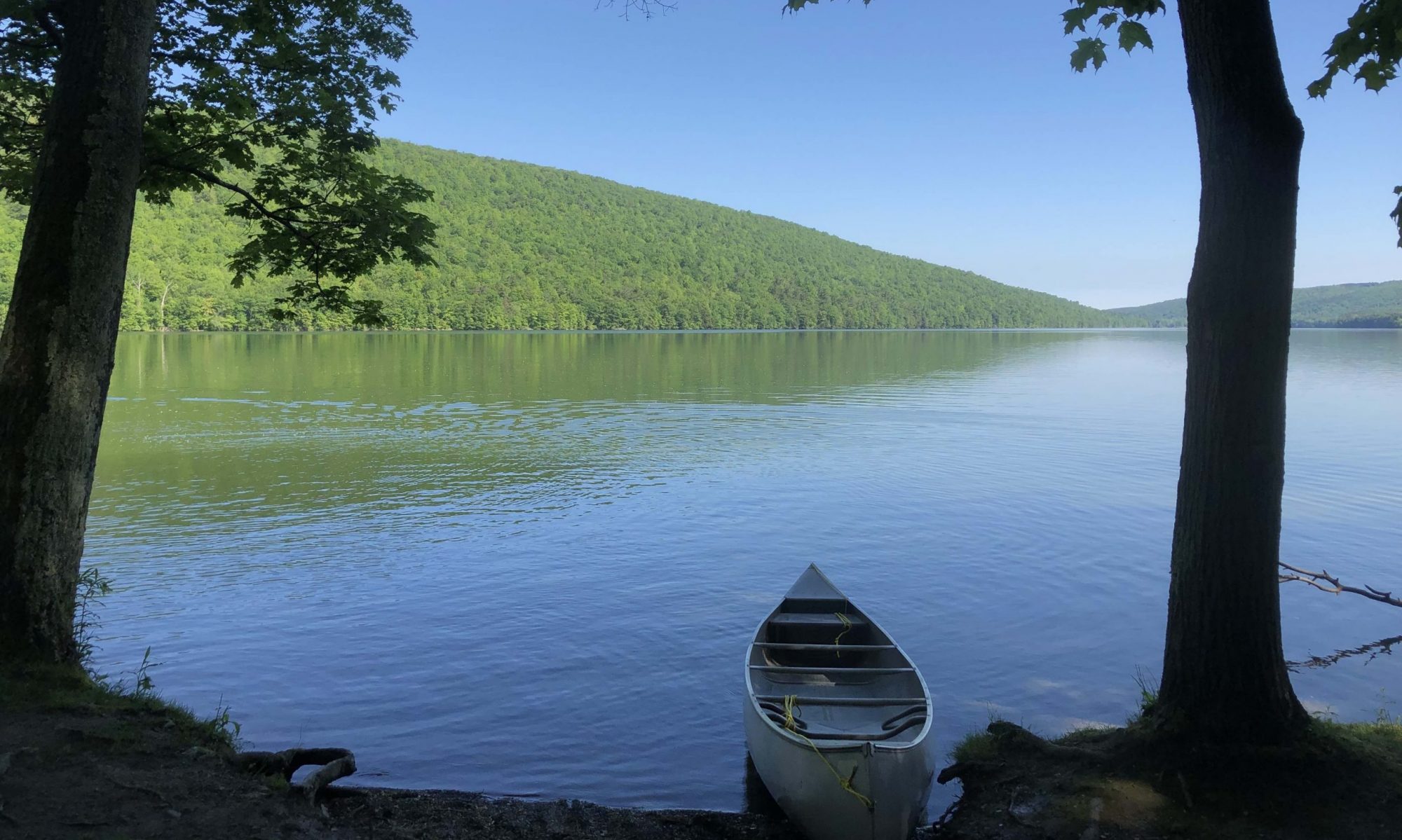
All my undergraduate students and I had our GSA Connects abstracts accepted for the Denver GSA conference during October 9 – 12!
132-3 – USING LIVING AND DEAD MOLLUSKS IN THE FINGERS LAKES OF WESTERN NEW YORK TO CREATE CONSERVATION BASELINES
WITTMER, Jacalyn M., Department of Geological Sciences, SUNY Geneseo, 1 College Circle, Geneseo, NY 14454 and MICHELSON, Andrew, Geneseo; Science Department, SUNY Maritime College, 6 Pennyfield Avenue, Bronx, NY 10465
Skeletal remains can provide pre-human baselines in ecosystems in which human impact precedes direct monitoring. The Finger Lakes of western New York have been affected by eutrophication and introduction of fauna, yet some are undergoing remediation. Here, we examine live/dead agreement of mollusks across three Finger Lakes that span a gradient of human impact. In the summer of 2019, living communities and associated death assemblages were sampled from Honeoye Lake (mesoeutrophic- polluted), Conesus Lake (mesotrophic from remediation efforts), and Canadice Lake (mesoligotrophic- protected).
A Peterson Grab dredge was used to collect ~2L of sediment from the upper 2cm of the lake floor in the northern and southern basins of each lake. These dredges were taken in transects perpendicular to the shoreline at 10 meter intervals out to 40m in all lakes. All living macroinvertebrates (soft-bodied and shelled) from these sediments were identified to the lowest taxonomic level possible. We found 6,251 total live and dead specimens of which 4,508 (72%) were of shelled-organisms. A total of 53 taxa of live and dead specimens were found from all three lakes, including 23 shelled taxa.
Honeoye Lake contained moderate species richness (31 living and dead taxa), low evenness as it was dominated by the invasive zebra mussel (Dreissena polymorpha), but abundant shells (1,695). Conesus Lake contained the most total live and dead species (43), abundant shells (2,538), and was characterized by a more even mix of native and introduced species. Canadice Lake had high total live and dead species (40), but few shells (285), and few invasive species. Among mollusks, live/dead agreement in species and rank-abundance was high in Honeoye, intermediate in Conesus, and low in Canadice.
Human impact in the Finger Lakes predates the window of time-averaging of surficial sediments. Thus, death assemblages do not capture baselines prior to human impact. Instead, death assembles are mainly composed of introduced and eutrophic species. Live/dead agreement is high in Honeoye lake where the living community is dominated by the invasive zebra mussel and lower in Conesus and Canadice Lakes where native and oligo- to mesotrophic species are commonly found alive. Future work will focus using older subfossil remains to capture pre-human baselines.
132-4 – CLOSING THE SCIENCE-SOCIETY GAP BY ENGAGING COMMUNITY PARTNERS IN CONSERVATION PALEOBIOLOGY FIELD STUDIES
LEONARD-PINGEL, Jill1, MICHELSON, Andrew V.2, WITTMER, Jacalyn M.3, BHATTACHARYA, Atreyee4, ARORA, Gaurav5 and RAY, Ranjini5, (1)School of Earth Sciences, Ohio State University Newark, 1179 University Dr, Newark, OH 43055-1766, (2)Science Department, SUNY Maritime College, 6 Pennyfield Ave., Bronx, NY 10465, (3)Department of Geological Sciences, SUNY Geneseo, 1 College Circle, Geneseo, NY 14454, (4)CIRES, University of Colorado Boulder, Boulder, CO 80309; Center for Asian Studies, University of Colorado Boulder, Boulder, CO 80309, (5)Indraprastha Institute of Information Technology Delhi, Delhi, 110016, India
The field of conservation paleobiology generates a broad range of data useful in addressing conservation questions and understanding how human activities influence ecosystems. Research has helped to define natural baselines, identify native species, estimate extinction risks and community resilience, determine areas of high impact, identify stressors and drivers of ecosystem change, set conservation goals, and assess the success of restoration efforts. Despite the wealth of data generated by these studies, conclusions and recommendations are difficult to disseminate beyond the pages of academic journals. This “science-society gap” is well-recognized in many other scientific fields of research, but is particularly frustrating when the goal of the research is to have an impact on tangible outcomes (e.g. conservation and restoration of sensitive ecosystems).
The traditional “scientist push” research model is a major contributor to the “science-society gap” because scientists develop scientific research agendas, programs, and priorities without considering the needs or concerns of community stakeholders. By engaging communities throughout the life of a research project, we can work to close this gap and make paleobiology a more open and inclusive discipline. Here, we present case studies from four research projects to illustrate how community-engagement can enrich conservation paleobiology research. Two case studies from the US Midwest (Wisconsin and Ohio) and a case study from the Finger Lakes in western New York illustrate how local community groups engaged in local remediation efforts can help to define and inform research questions, aid field research, and support undergraduate student research. Finally, we discuss an interdisciplinary international research project that engages with farmers in Maharashtra, India to determine their needs and amplify their voices in a climate hotspot. Each of these case studies illustrates that scientific questions are more relevant to local conservation goals and results are more effectively communicated when stakeholders are consulted at every stage in the research process and their knowledge is integrated into a scientific framework. Research truly is enriched when investigators make room for community partners.
95-3 – A GEOHISTORICAL APPROACH USING ALGAE AS ENVIRONMENTAL INDICATORS: A DIATOM RECORD OF CONESUS LAKE (WESTERN NEW YORK)
MASMAN, Jack1, ROGERSON, Julia1, GERSTLER, Kaitlyn1, BURNS, Katherine1, ABBATI, Emily1, TOBIA, Carlo1, GAUDIO, Sarah1, MICHELSON, Andrew2 and WITTMER, Jacalyn M.1, (1)Geological Sciences, SUNY Geneseo, 1 College Circle, Geneseo, NY 14454, (2)Science Department, SUNY Maritime College, 6 Pennyfield Avenue, Bronx, NY 10465
This study aims to assess the geohistorical record of Conesus Lake, the westernmost Finger Lake in western New York (Livingston County, NY). Ecological shifts in diatom populations can be used to pinpoint times of changes in lake conditions, like temperature. The south basin of Conesus Lake was studied from a piston core collected at 17 meters in depth resulting in 127 cm of sediments. The core was split, imaged, and analyzed for both magnetic susceptibility and XRF using a multi-sensor core logger. Sediments were sub-sampled at strategic intervals and digested in nitric acid to remove all but siliceous material. After digestion, 6 dilutions were performed and ammonium chloride was added to aid in dispersion. The solution was mounted on Optical and Scanning electron microscope slides using Naphrax mounting medium. Diatom populations were gathered using an optical microscope at 40x magnification. 300 intact individual valves were counted per slide, while complete frustules were counted as two individuals.
Over 18 genera of diatoms were identified, 5 planktic and 13 benthic resulting in 21,510 occurrences. Planktonic diatoms were the most abundant throughout the core, making up 78% of all occurrences. The dominance of planktonic diatoms in the core are likely caused by deep water depth at the site of collection since light availability is limited at the lake bottom. Two of the most abundant planktonic genera, Aulacoseira and Stephanodiscus both live in similar conditions, however, Aulacoseira prefers cooler temperatures (6-20°C) while Stephanodiscus prefers slightly warmer conditions (18-19°C). When compared stratigraphically, a clear change in lake temperature occurs where Aulacoseira abundance declines towards the present (62% to 41%) and Stephanodiscus occurrences increase towards the top of the core (11% to 28%). A similar trend is shown with Asterionella (thermal tolerance of 6-15°C) with an increase of 2 to 13% towards the present and Tabellaria (2.5-16°C) with a decline from 22 to 11% towards the top of the core. Since 1970, Conesus Lake has warmed by 1.5°C (NYDEC) and the changes in diatom populations mirror the instrumental record with an overall temperature increase. Diatom populations can be further used to evaluate other environmental changes based on genus-specific autecology and abundances.
95-4 – THE PHOSPHATE CONCENTRATION OF THE NORTH AND SOUTH BASINS OF LAKE CONESUS; ANTHROPOGENIC AND AGRICULTURAL LAND USE PRACTICES
ABBATI, Emily1, GERSTLER, Kaitlyn1, ROGERSON, Julia1, ROSE, Griffin1, WITTMER, Jacalyn M.1, MICHELSON, Andrew V.2 and LAGAMBA, Nick1, (1)Geological Sciences, SUNY Geneseo, 1 College Circle, Geneseo, NY 14454, (2)Science Department, SUNY Maritime College, 6 Pennyfield Ave., Bronx, NY 10465
The geohistorical record yields valuable data on past environmental and ecological changes that can be used as baselines for conservation and restoration. The study aims to look at anthropogenic effects specifically land use practices, and how these have influenced the sediment chemistry of Conesus Lake (Livingston County, NY). Conesus Lake is currently rated as a mesotrophic lake that has been undergoing continual remediation and monitoring since the introduction of invasive taxa and harmful cyano-algal blooms, caused by cultural eutrophication, in the mid-1990s. The watershed of Conesus Lake contains large amounts of land used for agricultural. Piston cores were collected from both the north and south basins of Conesus Lake at depths of 11m and 17m, respectively. Both cores were split, imaged, and analyzed for both magnetic susceptibility and XRF using a multi-sensor core logger. Sediments were subsampled and processed for diatoms and total organic carbon at regular six cm intervals. The phosphate concentration of both the north and south basin cores were further analyzed from 20 subsamples of differing depths from each core. Phosphate concentration was determined digesting sediment in a sulfuric acid solution and processed using a photometer. Preliminary results indicate a significant sedimentological change towards the recent where organic content dramatically decreases along with a coarsening of grain size. The elemental phosphorous concentrations remain stable in both basins but dramatically increase in concentration towards the present starting at 36cm in the north and 25cm below the lake floor in the south basin. North basin phosphate concentrations are minimal until 80cm from the top of the core, concentrations gradually becoming more elevated and increasing towards the present. The south basin shows higher phosphate concentrations than the north basin. Phosphate concentrations in the South basin gradually increase from 85cm to a peak at 25cm, followed by a decline towards the recent. Based on these results, phosphate delivery is more concentrated in the south due to higher sediment transport and more delivery systems. However, current remediation efforts seem to be ameliorating cultural eutrophication by reducing more recent phosphate concentrations captured in the lake.
95-11 – AN ELEMENTAL AND MINERALOGICAL COMPARISON OF LAKE SEDIMENTS TO WATERSHED SOILS IN WESTERN NEW YORK
BURNS, Katherine1, ABBATI, Emily2, GERSTLER, Kaitlyn3, MASMAN, Jack1, ROGERSON, Julia1, TOBIA, Carlo1, GAUDIO, Sarah1, MICHELSON, Andrew V.4, WARNER, Nicholas1 and WITTMER, Jacalyn M.5, (1)Geological Sciences, SUNY Geneseo, 1 College Circle, Geneseo, NY 14454, (2)Geneseo, (3)Department of Physical Geography, Institute for Geography and Geology, University of Greifswald, Friedrich-Ludwig-Jahn-Straße 16, Greifswald, 17489, Germany, (4)Science Department, SUNY Maritime College, 6 Pennyfield Ave., Bronx, NY 10465, (5)Department of Geological Sciences, SUNY Geneseo, 1 College Circle, Geneseo, NY 14454
This study aims to assess the sedimentary record of the north basin of Conesus Lake with its corresponding watershed soils. Conesus Lake is the westernmost lake of the Finger Lakes (Livingston County, NY) and has been undergoing remediation efforts after experiencing cultural eutrophication in the mid-late 20th century. The northeast watershed of Conesus Lake is a subwatershed and is the main source of sediment and water delivery for the northeastern portion of the lake. The sediments in the north Conesus Lake basin are distinct from the rest of the lake. Using ArcGIS and LIDAR, the northeast watershed was mapped using the New York State GIS Program Office data. From the bedrock and surficial geology of the watershed, three locations were selected for soil cores. A sedimentary core from a single location in the north basin was used for comparison with the soil cores from the northeastern subbasin. Using techniques of X-Ray Diffraction (XRD) and X-Ray Fluorescence (XRF), this study aims to determine the origin of north basin sediment delivered to the north basin of Conesus Lake.
At each watershed location, soil probes collected ~30cm of sediment. Smear slides were used to classify the texture and organic composition of the soils. A Thermo Scientific™ Niton™ XL5 Plus handheld XRF analyzer was used to quantify the abundance of elements in the soil at 3-6 cm increments. Scanning electron microscope (SEM) stubs of soil were analyzed for texture and composition using SEM-EDS. XRD analysis of samples were assessed to add confidence in identification. The soil elemental, mineralogical, and textural compositions were compared to the elemental and mineralogical data collected from the lake basin core. A piston core collected at 11.13 m water depth from the north basin of Conesus Lake resulted in 145.5 cm of core. The core was split, imaged, and analyzed using a Geotek multi-sensor core logger. XRD data was collected from the sediments at 6 cm intervals.
Preliminary results identified that the mineralogy of the soil and lake cores are compositionally aligned. Concentrations of dolomite occur in the soil and lake cores as a detrital mineral. Calcite appears authigenically in the soil and lake cores. Soil diatoms only appear distal from the lake with low diversity and abundances. Similarly, aquatic diatoms are sparse throughout the lake core.
95-12 – THE GEOHISTORICAL RECORD OF ANTHROPOGENIC EFFECTS IN THE SOUTH BASIN OF CONESUS LAKE, WESTERN NEW YORK
ROGERSON, Julia E.1, ABBATI, Emily2, BURNS, Katherine1, GERSTLER, Kaitlyn3, MASMAN, Jack4, ROSE, Griffin1, TOBIA, Carlo4, GAUDIO, Sarah4, MICHELSON, Andrew V.5 and WITTMER, Jacalyn M.1, (1)Department of Geological Sciences, SUNY Geneseo, 1 College Circle, Geneseo, NY 14454, (2)Geneseo, (3)Department of Physical Geography, Institute for Geography and Geology, University of Greifswald, Friedrich-Ludwig-Jahn-Straße 16, Greifswald, 17489, Germany, (4)Geological Sciences, SUNY Geneseo, 1 College Circle, Geneseo, NY 14454, (5)Science Department, SUNY Maritime College, 6 Pennyfield Ave., Bronx, NY 10465
This study aims to establish a geohistorical record of the south basin of Conesus Lake, a small Finger Lake in western New York (Livingston County, NY). Conesus Lake is categorized as a mesotrophic lake that experienced cultural eutrophication, causing harmful cyano-algal blooms in the mid-late twentieth century. Since 1999, stakeholders have made a concerted effort to reduce nutrient loading. This remediation resulted in Conesus overcoming its 2002 listing as phosphorus impaired and 2006 listing as oxygen impaired. In order to track pre-and post-European impacts on the environment of the lake, it is necessary to consult the geohistorical record. The geohistorical record will be assessed using analytical techniques that will illustrate the mineralogy, elemental composition, organic and sedimentary signal of anthropogenic influence.
Piston and Bolivia cores were collected from sites in the south basin of Conesus lake. A Piston core was collected at 17 m in depth and resulted in 127 cm of cored sediments. Additional Piston and Bolivia cores were collected at 1.8 m in depth resulting in a composite core of 154 cm. All three cores were split, imaged, and analyzed using a Geotek multi-sensor core logger at Syracuse University for magnetic susceptibility (MS) and X-ray fluorescence (XRF). X-ray diffraction (XRD) was assessed at key intervals to compare to XRF trends. Smear slides and sediments were sub-sampled and processed for diatoms at six cm intervals. One core was sub-sampled at one cm increments for 210Pb dating at St. Croix Watershed Research Station along with loss on ignition analysis.
Changes in mineralogy and elemental trends coincide with significant historical events such as European settlement in the 1790’s and the introduction of industrial practices in the 1850’s. XRF data indicates the introduction of lead at 55 cm through its use in paint and gasoline in 1920, and the increase in concentration as its uses became common, then decreasing concentration towards the present as it was phased out. The abundance of anthropogenic related elements in the lake are minimal but show increases from 63 cm to 30 cm corresponding to multiple MS peak accumulations in the lake. Towards the present, the mineralogy and elemental trends display a gradual decline in concentrations caused by the past 25 years of local remediation efforts.


